
Some Snow in the Forecast for Brampton
Published April 8, 2019 at 8:06 pm
Today might be absolutely gorgeous by early spring standards, but the party won’t last for too much longer.
Today might be absolutely gorgeous by early spring standards, but the party won’t last for too much longer.
While the forecast isn’t terrible–it certainly doesn’t look a blizzard or ice storm is on route–The Weather Network says Old Man Winter isn’t quite finished with Ontario overall just yet.
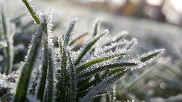
“The winter-spring battle persists across Ontario all week and it looks like winter will continue to take the upper hand,” the Weather Network said in a recent article.
The weather organization says that, by mid-week, much of the province will turn wintry, with widespread cooler temperatures and a “messy mix of wet snow.”
Videos


The Weather Network also says that a cooler pattern will likely persist over the coming weeks.

According to the forecast, the double-digit temperatures we’re currently enjoying will dip as the week goes on. On Thursday, we’ll see a high of 3 degrees and mixed precipitation (that means a little snow).
“This track will bring milder weather into our region and spare southern Ontario from seeing a winter-like storm,” says Weather Network meteorologist Dr. Doug Gillham in the article.
“However, as the warm front lifts north towards and eventually through our region on Thursday, we will have a brief period of wet snow that will change to rain and a raw east wind off of Lake Ontario.”
Friday will see temperatures climb up to a more pleasant 13 degrees and the weekend will be a little on the chilly side, with temperatures hovering in the high single digits.
insauga's Editorial Standards and Policies advertising