
Traffic study identifies most dangerous streets in Brampton
Published October 8, 2019 at 9:05 pm
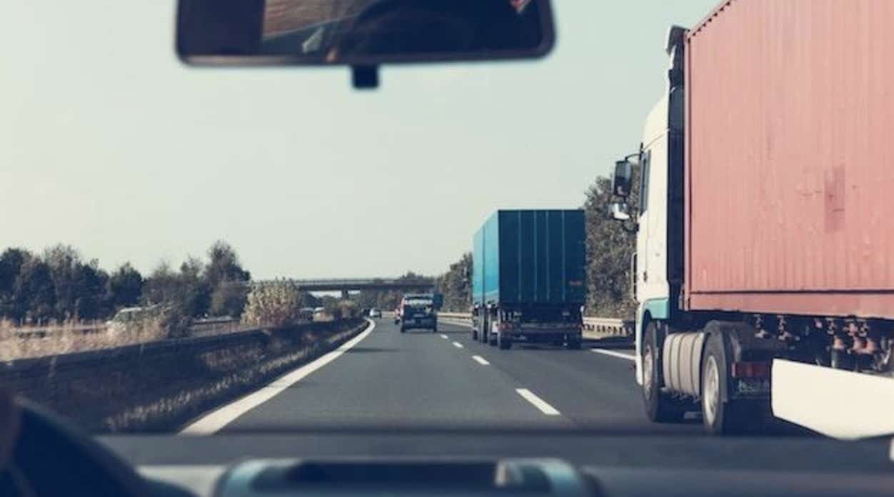
Brampton’s Traffic Operations Technologist Radoslaw Moryc has compiled a list of the most dangerous streets in Brampton as a part of the city’s Traffic Calming Program.
Brampton’s Traffic Operations Technologist Radoslaw Moryc has compiled a list of the most dangerous streets in Brampton as a part of the city’s Traffic Calming Program.
According to the Neighbourhood Traffic Management Guide (NTMG), the city will deploy mitigating measures and install traffic calming devices in response to many traffic concerns, which includes creating a list of the most dangerous streets in the city.
The list will quantify traffic-related issues and rank locations based on current conditions including traffic volume, speed, cut-through traffic, average number of collisions over three years, presence or absence of school frontage, parks, sidewalks and other pedestrian generators.
City staff have already started redeveloping Centre Street North (from Williams Parkway to Queen Street East), Vodden Street West (from Main Street North to Williams Parkway) and Royal Orchard Drive (from Bovaird Drive West to Williams Parkway) to address concerns.
Videos


Centre Street North is a 40 km per hour zone, 15 per cent of people are travelling over 17.3 km per hour over the limit.
Royal Orchard Drive between Bovaird Drive West and Williams Parkway’s vehicle volume per day is 4,823, with a cut-through traffic rate of 26.08 per cent, an 85th percentile speed of 53.6 km per hour in a 40 km zone and an average of 1.7 collisions per year, per kilometre.
Vodden Street West between Main Street North and Williams Parkway’s vehicle volume per day is 7,794 with a cut-through traffic rate of 26.57 per cent and an average of eight collisions per year, per kilometre.
The stretch between Williams Parkway and Queen Street East’s vehicle volume per day is 7,124 with a 44.62 per cent cut-through rate and an average of 7.8 collisions per year, per kilometre.
Nelson Street West between George Street North and McMurchy Avenue North have had the most collisions out of all neighbourhood streets in Brampton listed in the report, with an average of 12.2 collisions per year.
The city has created a list of the top 102 streets, giving precedence to sensitive road/traffic characteristics through weighted factors.
Here are 10 of the most dangerous streets in Brampton:
- Centre Street North between Williams Parkway and Queen Street East
- Vodden Street West between Main Street North and Williams Parkway
- Laurelcrest Street between Vodden Street and Queen Street East
- Royal Orchard Drive between Bovaird Drive West and Williams Parkway
- Fernforest Drive between Countryside Drive and Sandalwood Parkway East
- Eagle Plains Drive between Mountainash Road and Airport Road
- Meadowland Drive between Clarence Street and Eldomar Avenue
- Sunny Meadow Boulevard between Countryside Drive and Sandalwood Parkway East
- Father Tobin Road between Bramalea Road and Torbram Road
- Clementine Drive between Mavis Road and Steeles Ave West
Here is a further breakdown of the most dangerous streets in Brampton:


The city will also determine how to make the roads safer, which includes considering roadway geometric features (right-of-way, pavement widths, horizontal/vertical alignment, radii, on-street parking, etc.), potential implications of diverting traffic to adjacent streets, driveway and intersection locations, utility locations or relocations, and sightlines and sight distances.
The city will send a notification letter to all residences soon who have a direct frontage onto the streets under investigation as a way to advise residents of future development and explain the traffic calming measures.
There will also be a public meeting to provide information about the plan and the next steps.
Residents will also be able to provide their insights with future surveys.
The city is already in the process of implementing a traffic calming plan on Richvale Drive North/Richvale Drive South from Kennedy Road North to Bovaird Drive East (Ward 2) and on Mountainash Road between Countryside Drive and Peter Robertson Boulevard (Ward 10).
What do you think about the traffic calming plan?
Written by Lucy Mazzucco & Rajpreet Sahota
insauga's Editorial Standards and Policies advertising